VMS 4x4
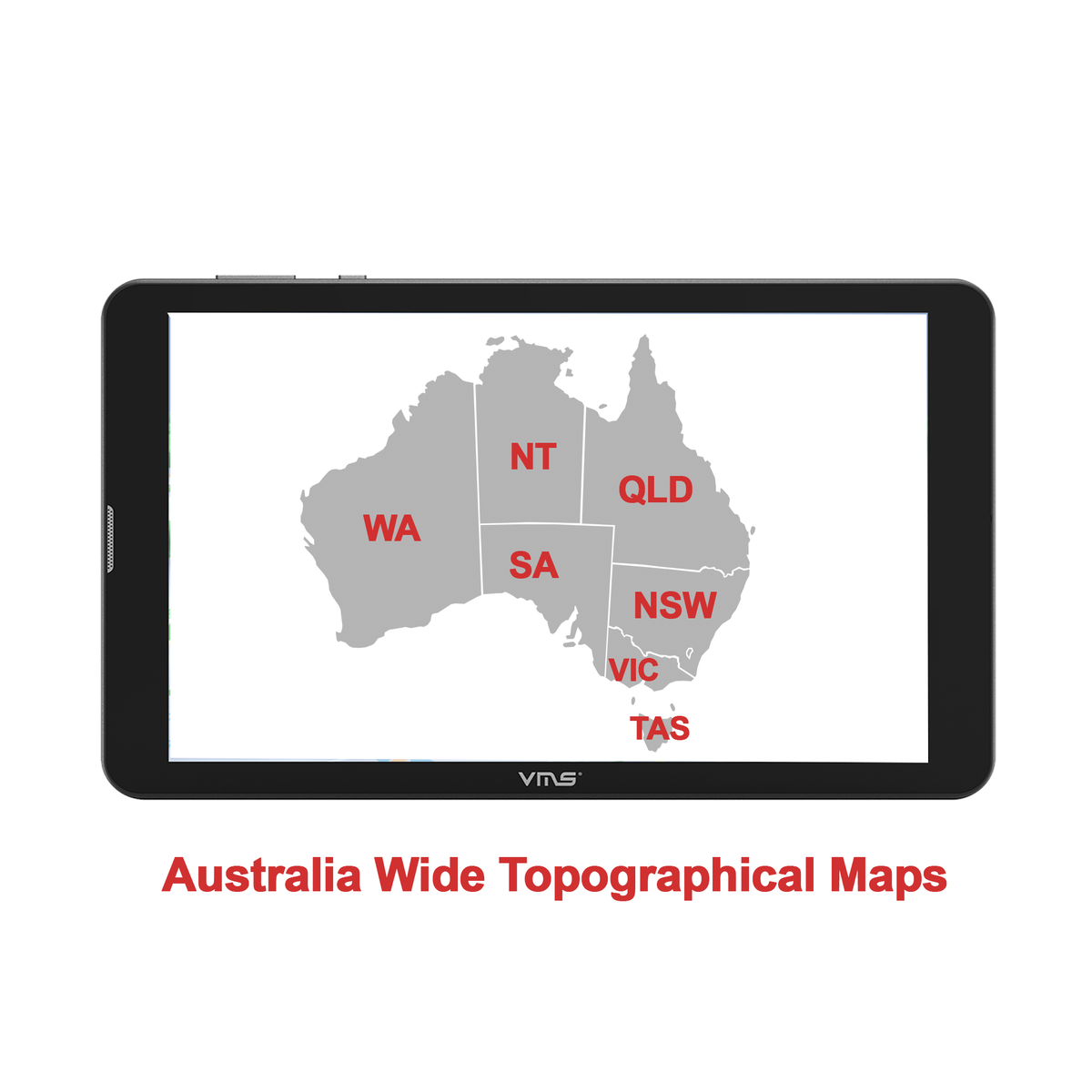
3DX Northern Territory 75K Topo maps (Getlost maps)
File Size: 5.18 GB
Scale: 1:75K
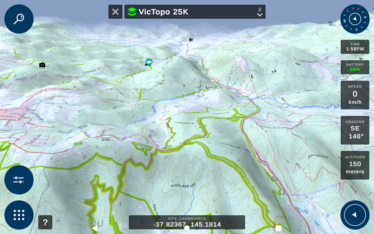
This map includes a 1:75K Topographic map of Northern Territory which has following features:
- Sealed roads, unsealed roads, bush tracks, walking tracks – with names
- Rivers and creeks with names, wetlands, lakes
- Seasonal track closures
- National and State Parks, State Forests, other public land, labelled, forested areas marked, Old Growth areas and Logged areas with year (Vic)
- Hunting information (Vic)
- Railway lines, disused lines, stations
- Towns, localities, buildings
- Huts, helipads, campsites, bridges, gates, fire towers, radio repeaters
- Boat ramps, lighthouses, navigation marks, etc (not sure how complete this data is)
- Mines including historical locations, current mining lease areas with boundaries
- Topography (altitude contours) and relief shading
- Bathymetry (depth contours) in some places
- Some steep bits on 4WD tracks
- Ruins, eg old huts which have burned down, old mining camps
Data Source: GETLOST MAPS
Usage Licence: Attribution-NonCommercial-NoDerivatives 4.0 International (CC BY-NC-ND 4.0)
These maps have only been repackaged to be optimized for 3DX and 3DR but the data remains unchanged.
Requires VMS 3DX unit and an active internet connection (for initial activation only)

